The PANTHEON GeoPlatform: Creating a Unified Command Center for Disaster Response
When a disaster strikes, the first casualty is situational awareness. Information floods in from satellites, drones, on-site sensors, and first responder reports, but this data is often disconnected, incompatible, and overwhelming.
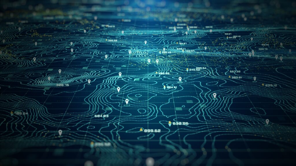
To solve this, the PANTHEON project is developing a GeoPlatform, a central command-and-control system designed to unify these diverse technologies. The goal is to create a single “Common Operational Picture” (COP) that fuses, processes, and visualizes data from every available source in real-time.
The complete technical blueprint for this system is detailed in our latest public report, Deliverable D6.2: “Integration of Geospatial Information Technologies.”
This document outlines our architectural strategy for building a robust, user-friendly, and interoperable platform. It details our commitment to open-source tools (like GeoServer and PostGIS) and open standards (like the OGC protocols) to ensure our platform can collaborate with other systems and agencies.
To make this technical framework easy to understand, we have broken its key concepts down into a 6-part blog series.
Explore the series:
- Blog Post 1: The “Command Center” View: Introducing PANTHEON’s Geospatial Platform An overview of why a “Common Operational Picture” is essential and how our GeoPlatform will provide it.
- Blog Post 2: The Building Blocks of a Smart Disaster Map A look at the four key technologies we integrate: Geographic Information Systems (GIS), Remote Sensing (EO), Unmanned Vehicles (UxVs), and the Internet of Things (IoT).
- Blog Post 3: How It Works: PANTHEON’s Open-Source Geospatial Architecture A dive into our core open-source stack (GeoServer, PostGIS, OpenLayers) and the 3-tier architecture that powers the platform.
- Blog Post 4: In Practice: How PANTHEON’s GeoPlatform Works An exploration of practical applications, from pre- and post-disaster mapping to fusing drone data and enabling real-time command and control.
- Blog Post 5: The 4 Big Challenges in Building a Unified Disaster Map (And How We’re Solving Them) A look at the key hurdles—Interoperability, Scalability, Data Quality, and Security—and the specific solutions PANTHEON is implementing.
- Blog Post 6: The Future of Disaster Response: AI, Edge Computing, and PANTHEON A forward-looking view of how emerging technologies like Artificial Intelligence and Edge Computing will make this platform even more powerful.
This series provides a complete tour of the PANTHEON GeoPlatform, from its foundational concepts to its future potential.
The PANTHEON project has received funding from the European Union’s Horizon Europe programme under Grant Agreement N°101074008.
Artificial intelligence tools were used to support text optimisation and the clarification of complex concepts.